
PIEOrtho is a state-of-the-art satellite imagery processing software designed for mapping and image analysis, with a broad range of applications in fields such as land management, surveying, agriculture, horticulture, water conservancy, and environmental protection. This software offers a comprehensive suite of tools for automated node/benchmark acquisition, adjustment calculations, the generation of DSM/DEM/DOM, quality control, and precise geometric corrections.
Key Features
Advanced Auto-Point Matching: PIEOrtho boasts a robust auto-point matching system, enabling precise alignment of points across different datasets, regardless of their origin, acquisition time, or resolution, achieving sub-pixel accuracy.
Versatile Adjustment Techniques: The software includes a variety of area network adjustment methods, such as stereo, planar, and hybrid adjustments, catering to diverse data production requirements and facilitating DSM/DEM/DOM generation.
Responsive Correction Models: Utilizing the RPC TIN GRID AFF model, PIEOrtho ensures that each pixel value has a unique set of model parameters, providing responsive corrections for accurate results.
Automatic Color Correction: The software offers an automated color correction process with multiple methods, including true-color degrading, geographical template color correction, and area network color correction, to meet various color adjustment needs.
Intelligent Mosaic Line Formation and Editing: PIEOrtho features advanced strategies for seam line detection, automatically identifying the smoothest color transition areas and allowing for manual editing to enhance the final mosaic's appearance.
Automated DSM Generation: The software leverages triple-line array satellite imagery to perform automatic resampling and aggregation, facilitating DSM creation with a specified grid size.
Quantitative Quality Inspection: PIEOrtho supports rapid quantitative quality inspection of orthophoto products, generating quality reports and allowing for secondary precise corrections using corresponding control points until precision requirements are met.
One-Click Batch Processing: The software enables one-click, batch processing of large volumes of data, automatically outputting both panchromatic and multispectral orthorectified images, as well as composite images.
High-Efficiency Processing: With its standalone parallel processing mechanism, PIEOrtho achieves high-efficiency processing, as demonstrated by a case study involving 450 pairs of Tianhui satellite data (542GBB), which were processed through pyramid creation, network adjustment, orthorectification, and true-color output in just 9 hours, showcasing its superior efficiency compared to similar software.
How to Use PIEOrtho
To utilize PIEOrtho for your mapping and imagery processing needs, follow these steps:
Data Import: Begin by importing your satellite imagery data into the PIEOrtho environment.
Auto-Point Acquisition: Let the software automatically acquire nodes and benchmarks, or manually adjust them if necessary.
Adjustment Calculations: Perform adjustment calculations using the appropriate area network adjustment methods.
DSM/DEM/DOM Generation: Generate DSM, DEM, and DOM products with the click of a button.
Quality Control: Conduct quantitative quality inspection and make necessary corrections.
Batch Processing: Set up batch processing jobs for large volumes of data.
Export Results: Export your orthorectified and composite images in the desired format.
With PIEOrtho, users can streamline their satellite imagery processing workflows, ensuring high-quality results and enhanced efficiency in their mapping and image analysis tasks.


 文字转语音播音王
 雨花石音乐打铃系统
 园丁提词器
园丁提词器
 闪电文字语音转换特别版
 风云文字语音转换器
 神奇主图视频制作软件
 闪电文字语音转换软件
 风云录音大师
 2K公布免费第三人称英雄射击游戏《Ethos计划》
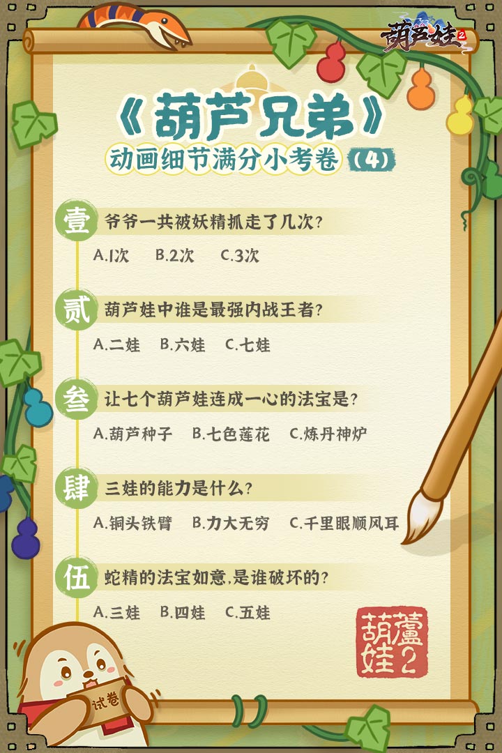 考试啦,《葫芦娃2》带来原动画细节小考卷(4)
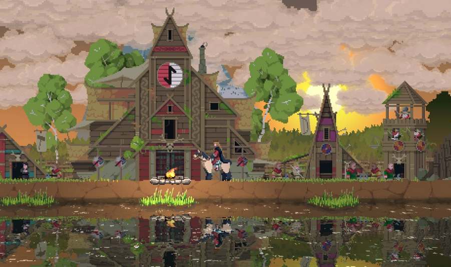 王国两位君主北欧之地隐士有什么用
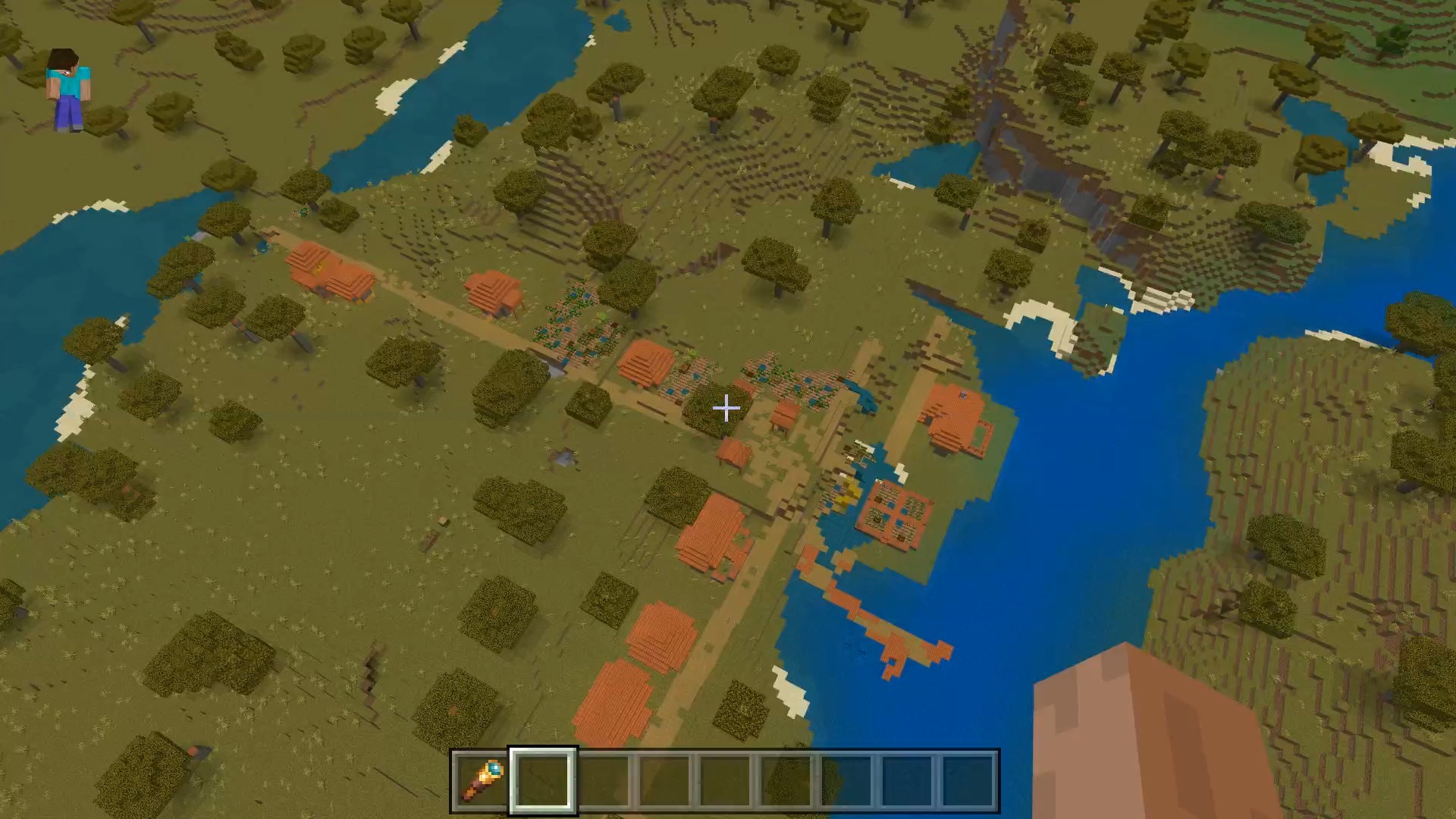 我的世界种子怎么种植方法
 崩坏学园2怎么注销崩坏怎么注销账号
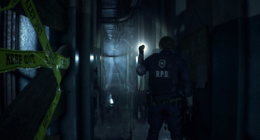 不止《生化危机》外媒精选30款恐怖佳作
 王国两位君主北欧之地雷神之锤解锁顺序
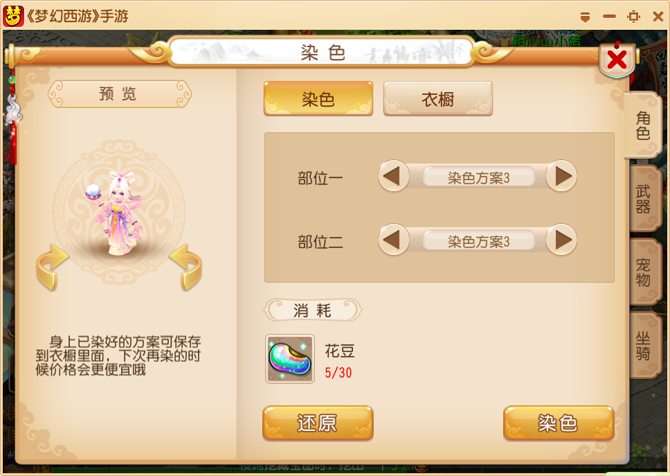 梦幻西游梦玲珑穿什么
 功夫熊猫阿宝邀你切磋,《蛋仔派对》联动KouKouLove第二弹开启
 终结之王SF《街头篮球》提升胜率之失误控制