
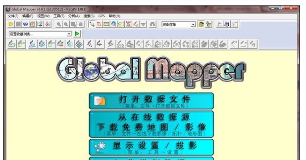
Global Mapper is a professional mapping software that can display data as raster, elevation, and vector maps. It allows for map editing, conversion, printing, GPS tracking, and utilizes GIS (Geographic Information System) functions to manage databases. Global Mapper can directly access USGS satellite imagery, TerraServer databases, and its own topographic maps, offering a true 3D view of elevation data.
Capable of handling a wide array of raster, contour, and vector datasets, Global Mapper can edit, convert, and print various map graphics files. It leverages GIS resources for comprehensive data management.
Global Mapper facilitates the transformation of datasets to match project coordinate systems and allows for clipping the data extent simultaneously.
Software Features
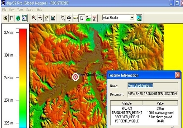
Global Mapper offers advanced features such as distance and area calculations, raster blending, contrast adjustments, elevation queries, and line of sight calculations. Additional capabilities include image rectification, contour generation from surface data, watershed observation through surface data, conversion of 3D point data to triangular polygons and gridding. Repetitive tasks can be efficiently automated through built-in scripting languages or batch processing conversion options.
Installation Steps
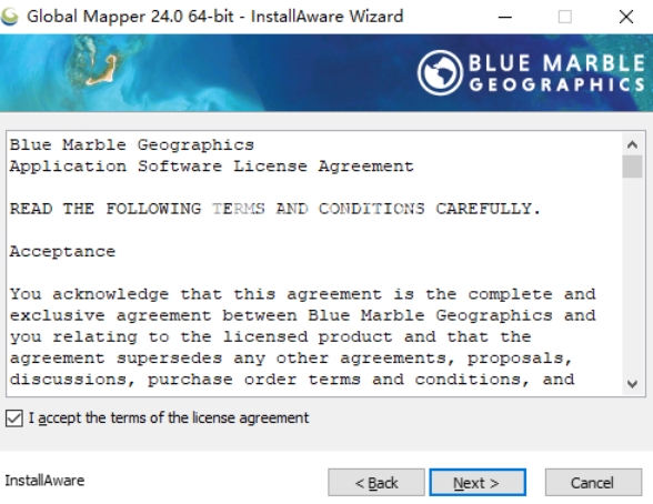
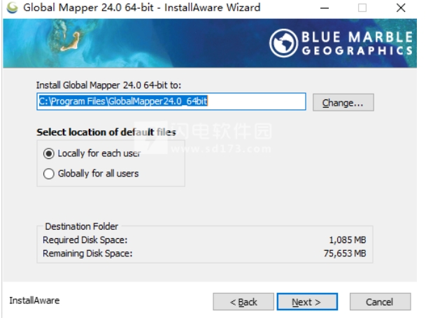
Begin by downloading and extracting the file. Double-click the installer to open the setup wizard and follow the on-screen instructions to complete the installation.


 国考云
国考云
 驾校一点通
驾校一点通
 元贝驾考
元贝驾考
 元贝驾考
元贝驾考
 信考中学信息技术考试练习系统贵州初中版
 信考中学信息技术考试练习系统贵州高中版
 车轮驾考电脑软件
 顶伯单机版考试系统
 2K公布免费第三人称英雄射击游戏《Ethos计划》
 考试啦,《葫芦娃2》带来原动画细节小考卷(4)
 王国两位君主北欧之地隐士有什么用
 我的世界种子怎么种植方法
 崩坏学园2怎么注销崩坏怎么注销账号
 不止《生化危机》外媒精选30款恐怖佳作
 王国两位君主北欧之地雷神之锤解锁顺序
 梦幻西游梦玲珑穿什么
 功夫熊猫阿宝邀你切磋,《蛋仔派对》联动KouKouLove第二弹开启
 终结之王SF《街头篮球》提升胜率之失误控制